Basic information
[06.05. 2015]
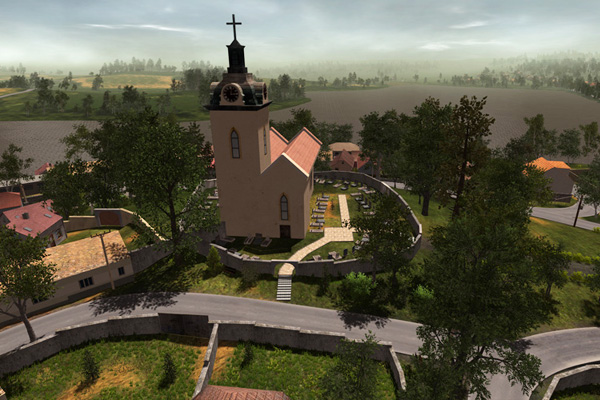
Solutions envelop the use of 3D modeling technology in reconstruction of realistic conditions for tactical training devoted to problematic floods.
The simulator allows setting water levels in the environment. Thanks to the use of precise altitude maps, the affected areas directly correspond to the waters realistic distribution in the area. To make sure all the information about flooding activity corresponds to the real world, it is possible to add parameters to the water level meters placed along the water body. More info in section FLOW CONTROL, WATER LEVEL METERS, FLOODING ACTIVITY SCALE
Another important part of the simulator, which is necessary for training of tactical activities related to floods, is evacuation. The simulator has a built in function to select locations (zones), from which the evacuation will ensue and set up further parameters necessary for evacuation (means of evacuation, evacuation logistics, etc…) More information in the section EVACUATION.
Simulator 3D Flood has two additional features, these are publications “What to do” and “Flood and supporting web publication” (www.codelat.info). Interlinking the simulator, publications and supporting website gives user the ability to search for further relevant information regarding flood endangered areas through the use of themed keys, which are saved on the website and accessible both from the publications and the simulator. More on the website www.codelat.info nebo na www.e-radnice.cz/edice_codelat

Products
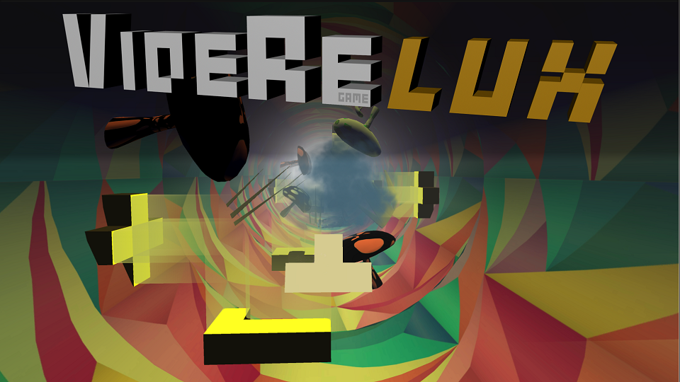
VidereLux VR[made for Pico Goblin]
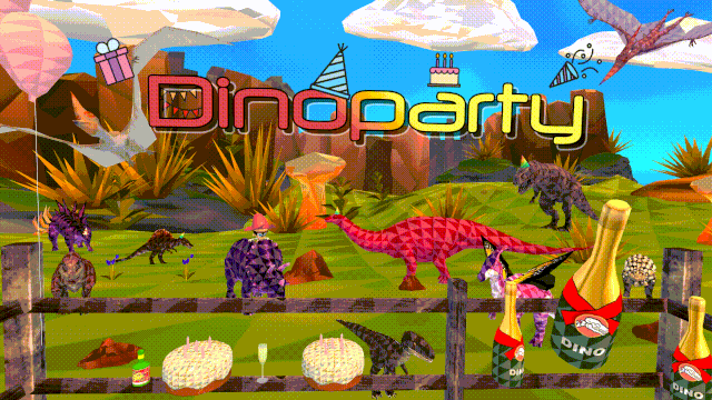
Dino Party VR [made for Pico Goblin]
Simulátor3D [only in czech]
Prehistory game [for Android]

Download for free
Real History [PC game]